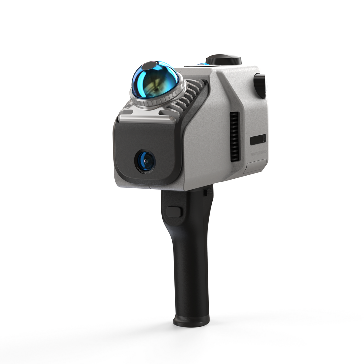
 LiDAR Scanner
 3DMakerPro Eagle LiDAR Scanner
Large-scale precision. Professional 3D mapping.
Key features
- Up to 140m range
- 8K imaging, up to four 48MP cameras (Max)
- Real-time SLAM navigation
- 3.5" on-device preview
- RTK module for absolute accuracy
- 3D Gaussian Splatting support
About this product
Eagle is a professional handheld LiDAR scanner for 3D spatial mapping. It combines long-range LiDAR, high-resolution imaging, and intuitive workflows for accurate 3D capture indoors and outdoors — from architectural documentation to film production.
Long-range LiDAR and dense point cloud acquisition capture complex structures with millimeter-level precision. The integrated software ecosystem — point cloud editor, 3D Gaussian Splatting support, panoramic tour creation — covers the full path from field to delivery.
Mounting: handheld, drone, vehicle, tripod. RTK and Max editions available for absolute accuracy.
Specifications
| Range | 40-140m (max) |
| Accuracy | 2cm @ 10m, 3cm @ 20m, 5cm @ 40m |
| Scan rate | 200,000 points/s |
| Field of view | 360° × 59° |
| GPS / IMU | RTK (1-3cm), integrated IMU |
| Weight | 1.5 kg |
| Dimensions | 115 × 181 × 106 mm |
| OS | Windows 11+ |
| Output formats | PLY, OBJ (model + Gaussian Splatting) |
| Connectivity | USB-C ×2, Wi-Fi 5 |
| Battery | 12,000 mAh, ~1h runtime |
Ideal for
Architecture, surveying, film/VFX, cultural heritage, BIM
Interested?
Contact us for pricing, delivery time, and technical details. We respond within a few hours.